Forestry Intelligence
made Accessible & Affordable

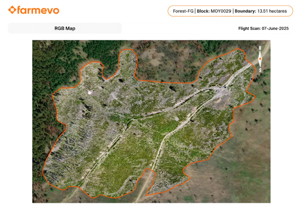
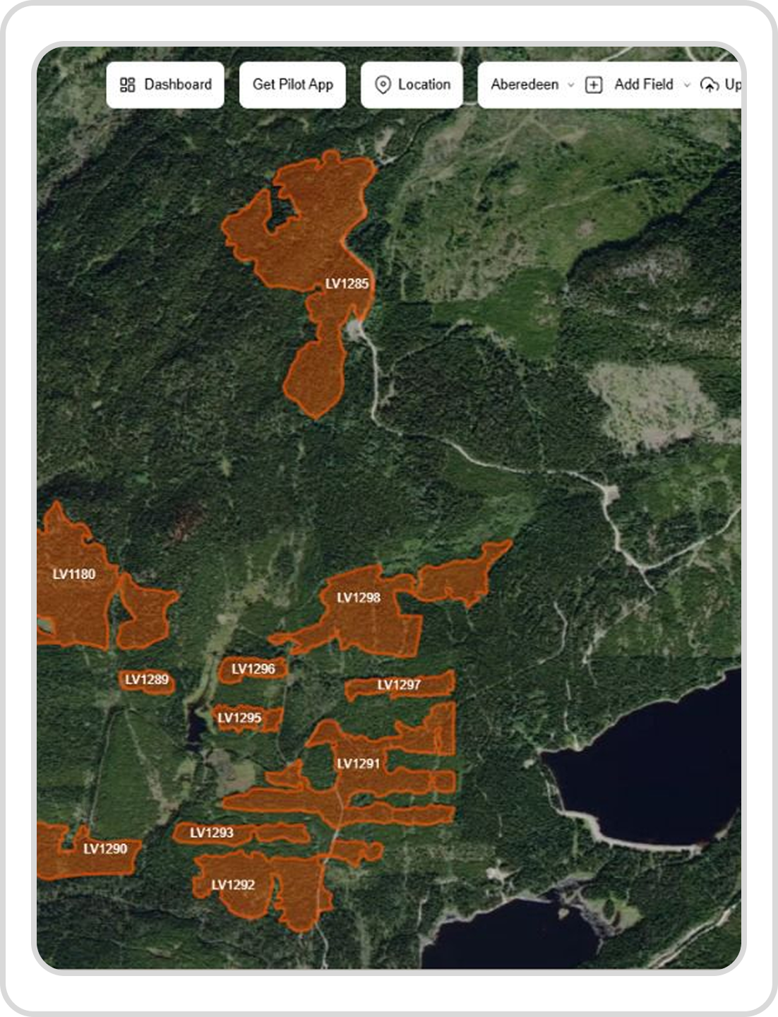
SylvaSense enables forestry teams to augment manual surveys with automated drone surveys, delivering 3-5x quicker insights, higher accuracy and consistent reporting at scale. 

Digital Silviculture Platform by Farmevo

Recce Surveys

A terrain aware mapping of the entire area to provide elevation and aspect maps, along with a high resolution overview of the block.

Reports & Surveys

Report Overview

Identification of empty or low coverage areas to improve cut block visibility and decision making.

Plot Surveys

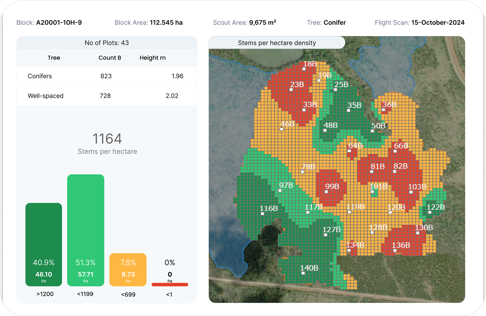
Farmevo’s plot Level survey enhances traditional silviculture surveys with automated, consistent millimeter level plot surveys to provide analysis such as well spaced tree counts, stems per hectare, and tree height distribution helping foresters conduct surveys at well-distributed points within the forest block.

Reports & Surveys

Report Overview

Understand tree spacing for both regenerated and free growing plots helping silviculture teams to confirm stand performance and make faster, confident decisions.

1. Define forest boundaries and blocks

Upload forest boundaries via kml, kmz or shp files.

Go to block perform an automated recce flight using our flight app.

Mark Scout Points on RGB map where you want to gain plot level insights.

Perform automated plot level survey using our flight app.

Upload data and view insights on web portal within 12 hours.

Scale Forestry Intelligence with Confidence

Automated drone surveys delivering reliable forest intelligence without manual fieldwork.